Reduce Scrapping and Smelting, Promote Component Reuse > Engine Powered
> Gasoline Powered
> DuPage County
> Used
> Surveying construction topographic geodetic control etc
Surveying construction topographic geodetic control etc
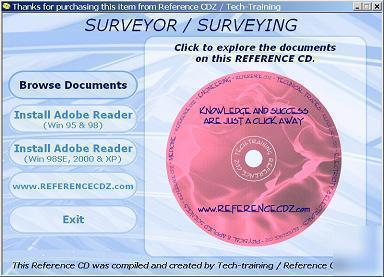
When you put this Reference CD in your computer the Menu Program shown above will run.
This Reference CD consists of 10 documents (4 training documents and 6 graphics presentations), 989 pages in all, that deal extensively in the particulars of surveying.
This Reference CD would be a useful resource to anyone working, looking to work, or studying as a surveyor in contstruction, engineering, topographic, or conventional related careers. These documents really are exceptional in their content and detail.
The images below show pages taken from these documents.
This Reference CD also includes Adobe PDF Reader for Windows 95, 98, 98SE, 2000, and XP to ensure you will be able to view these documents.
Headquarters, Department of the Army
GEODETIC CONTROL AND SURVEYING
Control Surveying Applications
Standards and Specifications for Control Surveying
Reference Systems and Datum Transformations
Horizontal Control Survey Techniques
Vertical Control Survey Techniques
Miscellaneous Field Notekeeping and Procedural Requirements
Missions, Operations and Duties
Datums, Grids, and Coordinate References
Conventional Survey-Data Collection
Airfield-Obstruction and Navaid Surveys
Reports, Briefings and Operation Orders
United States Army Engineer School
Perform Differential Levelling
TEST - ADJUST SURVEY INSTRUMENTS
Operator Tests and Adjustments
Level Vial Test and Adjustment
Circular Level Test and Adjustment
Optical Plumb Test and Adjustment
Horizontal Construction Layouts
DIFFERENTIAL LEVELING ROD READING
Two Categories: Open and Closed
Lines of Communication, Cover and Concealment
Line of Site and Zone of Entry
Aerial and Ground Imagery Sources
THESE DOCUMENTS ARE IN ELECTRONIC ADOBE PDF FORMAT
CLICK HERE FOR MORE INFO ON THIS ITEM
Please contact me directly at ****@rogers.com with any questions
* US$4.00 to the continental U.S.A.
* US$5.00 to everywhere else
